You are here:
- Home
- showcase
- Synthetic Vision
Synthetic Vision
Synthetic Vision for Avionics
Project Overview
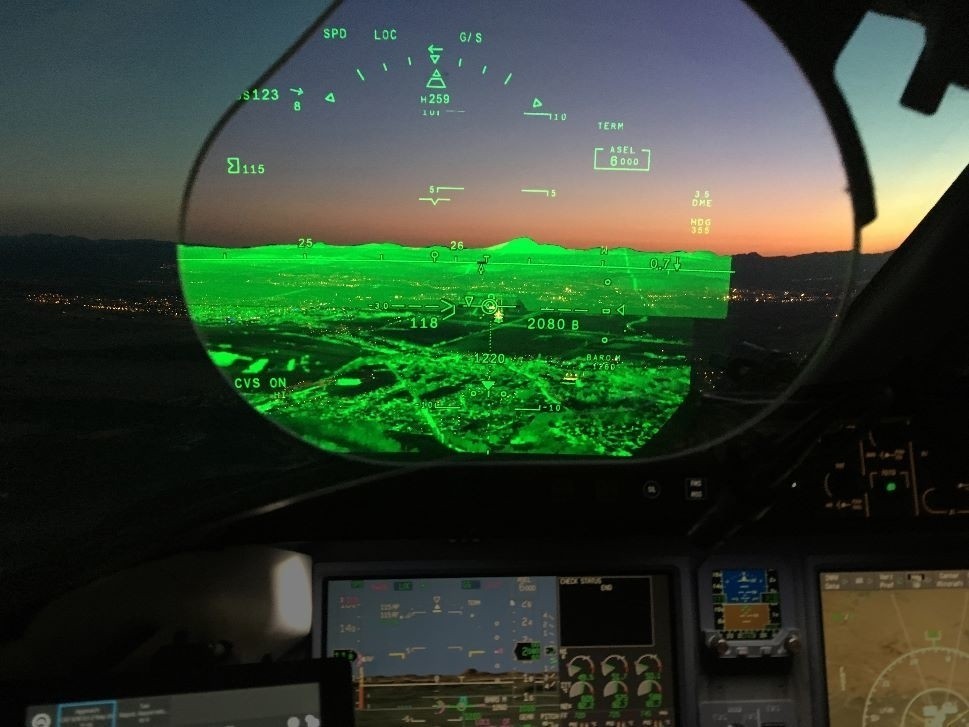
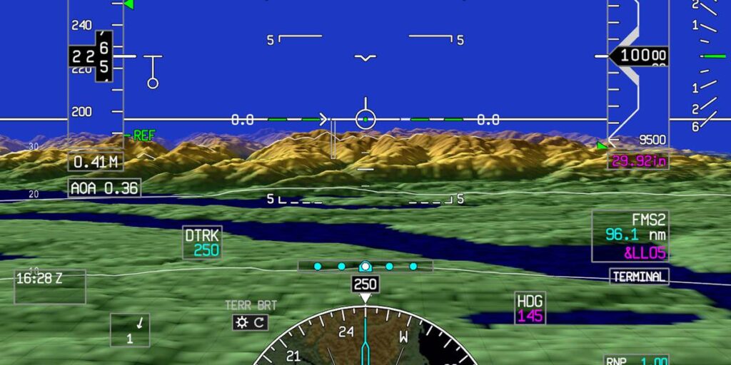
Faced with the need to enhance flight safety and avionics training, our customer required a synthetic vision for avionics systems. We developed a cutting-edge synthetic vision system that provided high-resolution terrain mapping and real-time obstacle detection. By integrating advanced visualization techniques and an intuitive user interface, our solution significantly improved pilot situational awareness and operational safety. This state-of-the-art system exceeded the customer’s expectations, offering clear and accurate visual information in all conditions, ultimately optimizing flight operations.


Key Features
3D Terrain Mapping
Generates detailed three-dimensional maps of the terrain.
Real-Time Data Integration
Combines data from various avionics systems and databases for accurate and up-to-date information.
Obstacle Detection
Develop algorithms for Identifing and highlighting potential obstacles in the flight path.
Enhanced Navigation
Provides intuitive navigation aids and route planning tools.


