You are here:
- Home
- showcase
- Situational Awareness
Situational Awareness
Situational Awareness Solution
Project Overview
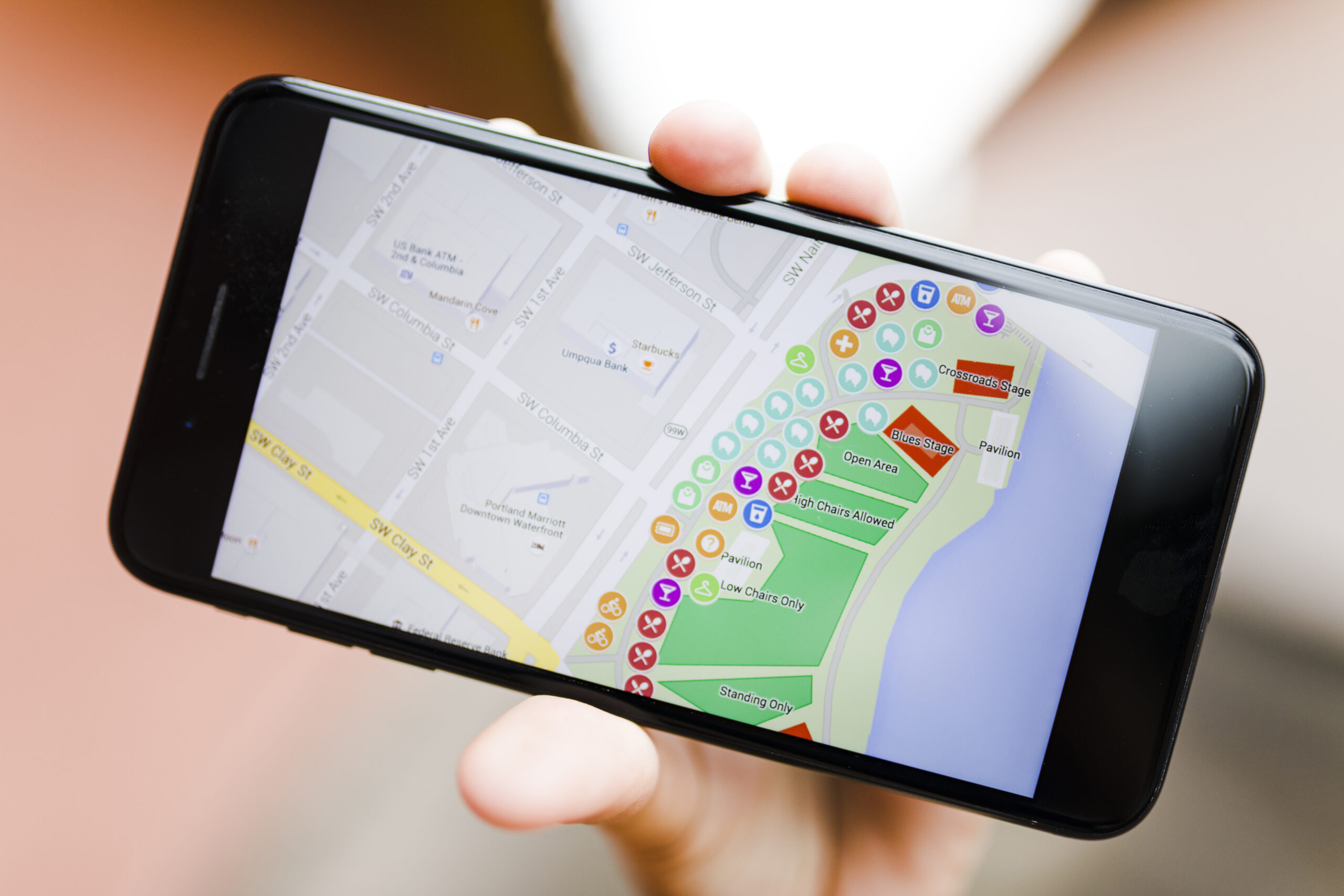
Faced with the need for enhanced situational awareness and real-time decision-making, our customer sought a solution to integrate complex geospatial data seamlessly. Understanding these challenges, we developed an advanced situational awareness application tailored to their requirements. By leveraging real-time data visualization, multiple map layers, and an intuitive user interface, our solution provided comprehensive insights and improved operational efficiency. This powerful application enabled our customer to make informed decisions swiftly, resulting in optimized processes and increased confidence in managing their operations.


Key Features
GIS Integration
Utilizes GIS systems to manage and analyze geographical data, providing detailed spatial insights.
OpenLayers Framework
Implements OpenLayers for dynamic map rendering and interactive geographic features.
GeoServer
Employs GeoServer for efficient data storage, management, and dissemination of geospatial information.
Real-Time Data Visualization
Displays real-time data on interactive maps, enabling users to monitor and respond to situational changes promptly.
Layer Management
Supports multiple map layers, allowing users to customize views and overlay different data sets for comprehensive analysis.


